The Jelly brothers
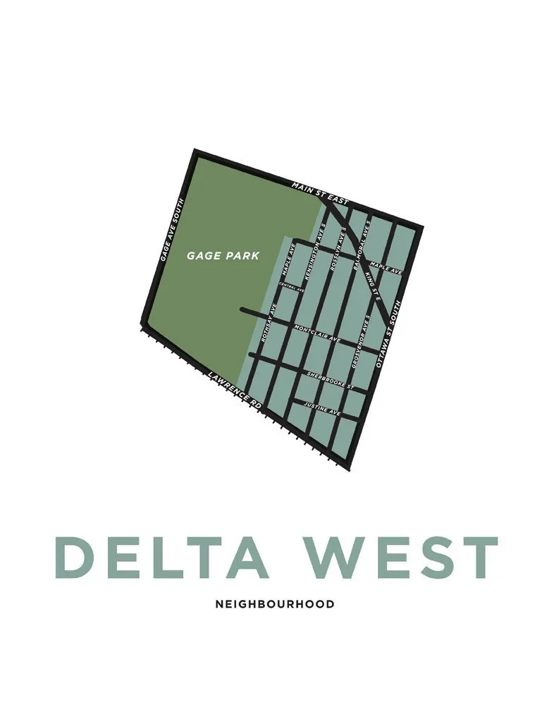
In 2011, when Matt was Chair of the Central Neighbourhood Association in Hamilton, he was working on some promotional materials and designed a map of the Central neighbourhood. He then started designing maps for other neighbourhoods across the lower city according to Hamilton's official neighbourhood boundaries.
As of now we have designed over 1300 maps, including neighbourhoods across the old City of Hamilton as well as the former towns of Ancaster, Dundas, Glanbrook, Flamborough and Stoney Creek. Chances are, if you live in Hamilton, we have a print of your neighbourhood for sale. We've expanded our collection beyond Hamilton to include Haldimand County, Burlington, Guelph and select maps from across Ontario and a few select cities across Canada.


